Pinnacle Mountain State Park
These pictures are from Pinnacle Mountain State Park in Roland, Arkansas just outside of Little Rock. I hiked the 1.5 mile western summit trail to the top of Pinnacle Mountain (elevation 1,011 feet) and was rewarded with a great view of the Arkansas River and surrounding landscape.
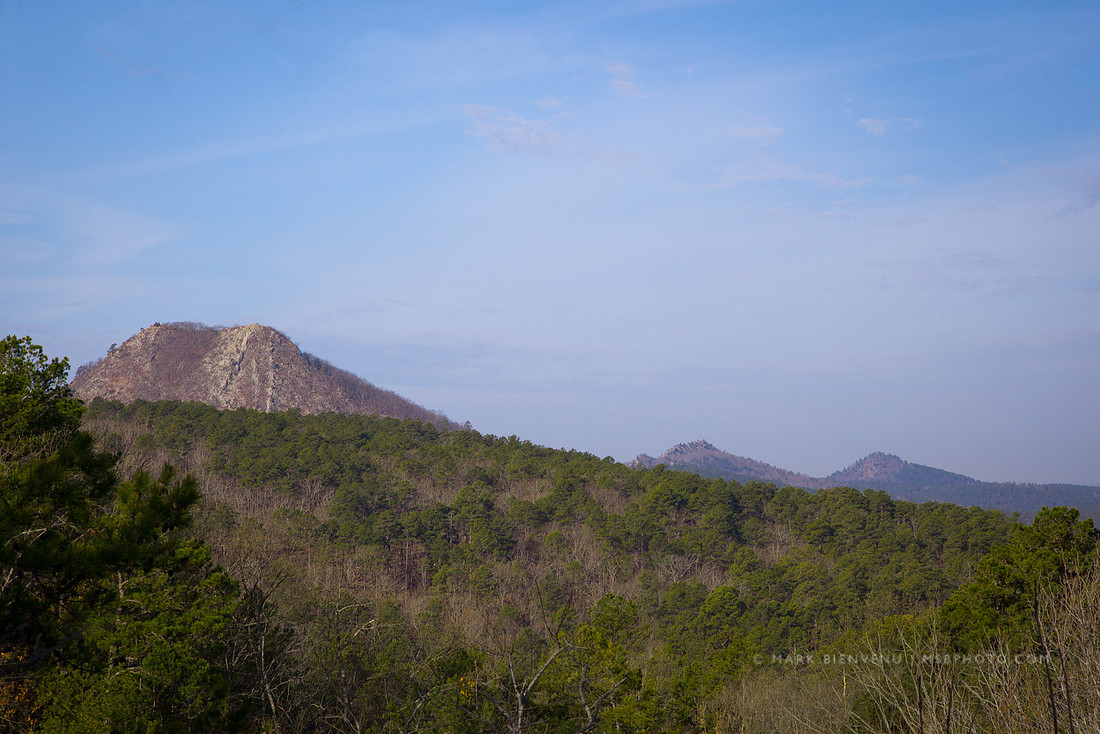 Pinnacle Mountain State Park
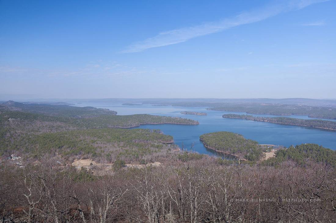 Pinnacle Mountain State Park
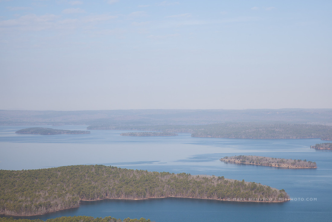 Pinnacle Mountain State Park
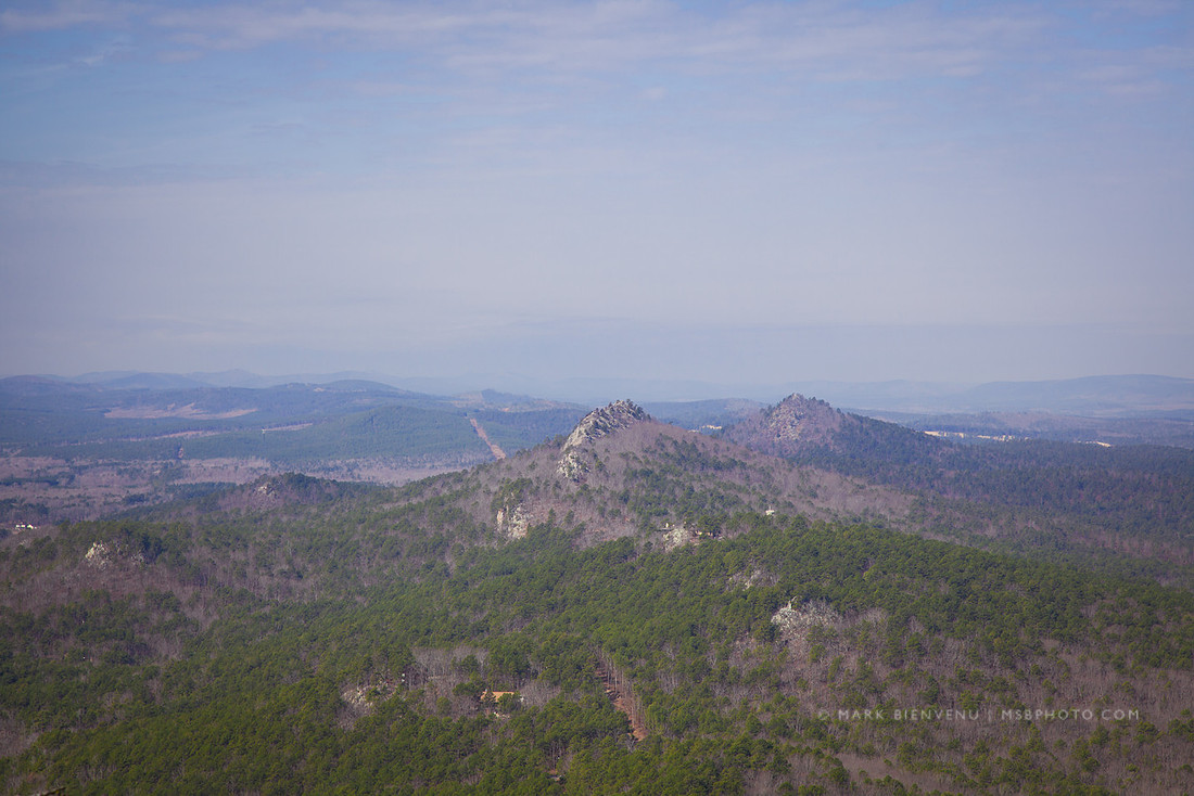 Pinnacle Mountain State Park
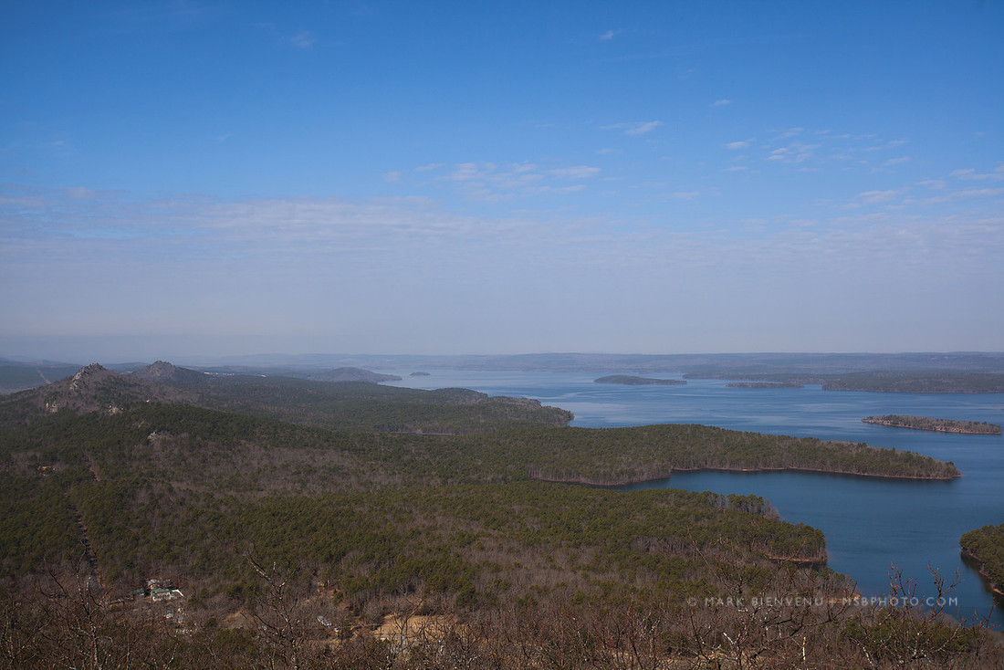 Pinnacle Mountain State Park
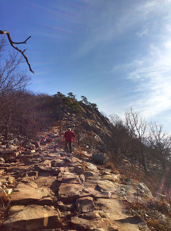
iPhone shot from the hike to the top:
Little Rock, Arkansas
I spent 48 hours in the downtown area of Little Rock, Arkansas and left with a great impression of the city. Little Rock is very pedestrian friendly, there are great parks and public use spaces along the Arkansas River, and there were plenty of attractions to see in the area. I loved that I could walk across all of the bridges on the Arkansas River. There wasn't much time for photography, but I did manage to come back with a few shots.
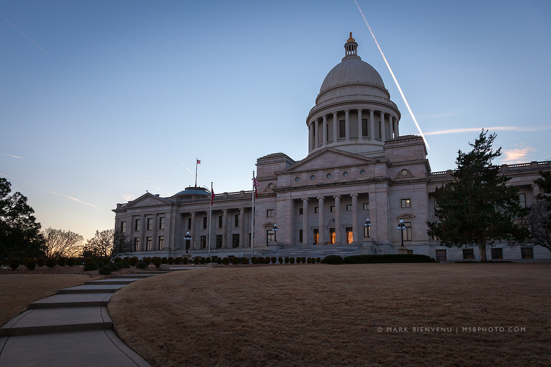 Arkansas State CapitolArkansas State Capitol building in downtown Little Rock.
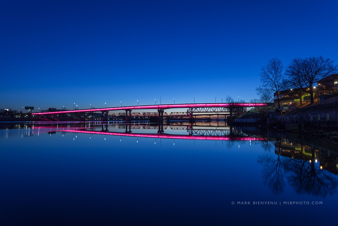 Main Street BridgeMain Street Bridge over the Arkansas River in Little Rock.
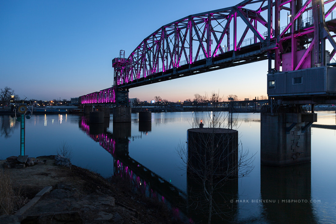 Junction BridgeJunction Bridge is a pedestrian bridge over the Arkansas River in Little Rock.
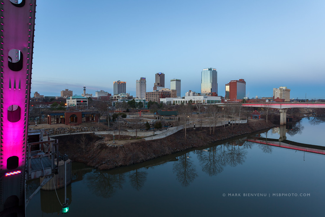 Downtown Little RockLittle Rock Skyline, Riverfront Park, and the Main Street & Junction bridges on the Arkansas River
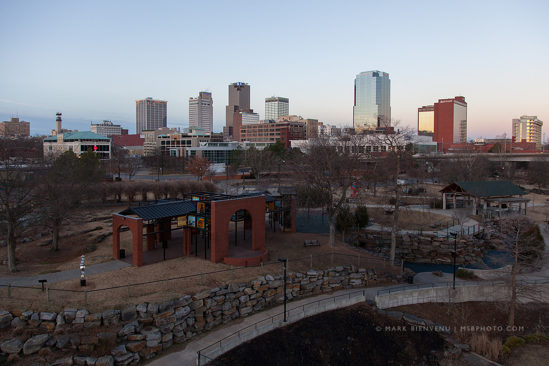 Downtown Little RockRiverfront Park and the Little Rock Skyline
 Junction BridgeJunction Bridge is a pedestrian bridge over the Arkansas River that connects Little Rock to North Little Rock.
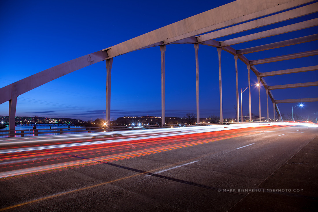 Broadway BridgeBroadway Bridge (US-70B) over the Arkansas River in Little Rock, Arkansas.
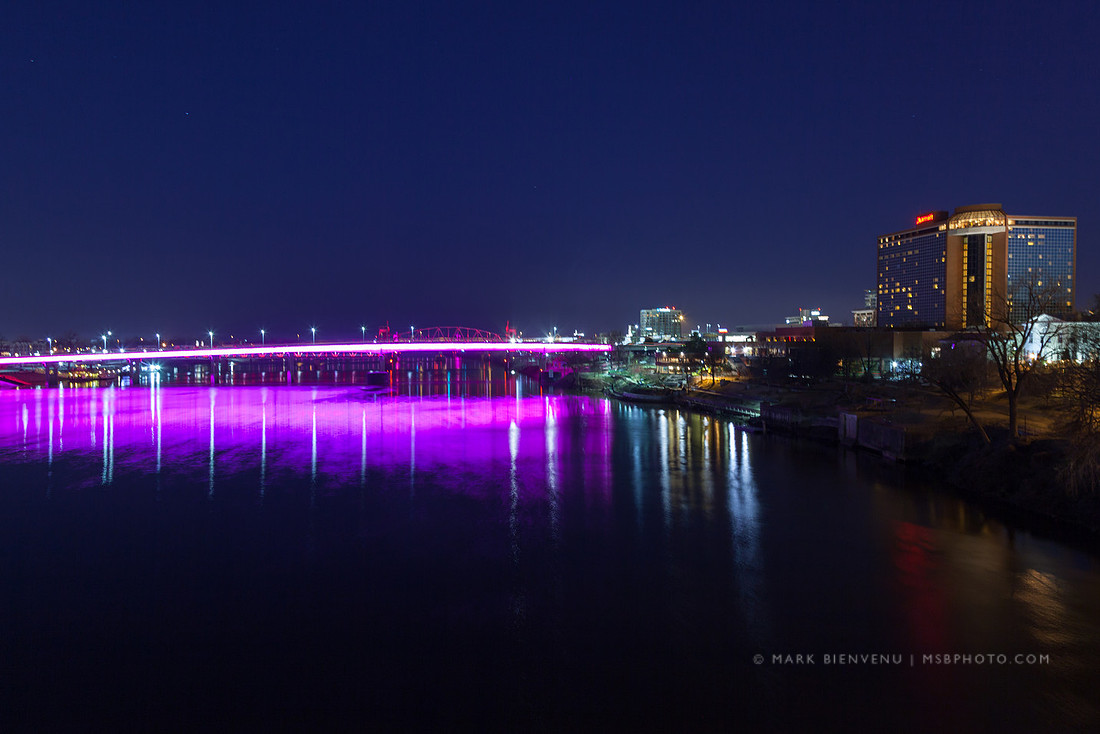 Arkansas RiverBridge lights reflecting on the Arkansas River in Downtown Little Rock.
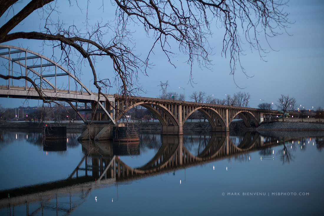 Broadway BridgeBroadway Bridge and the Arkansas River
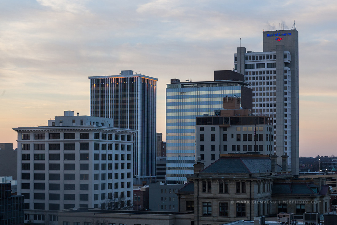 Downtown Little RockDowntown Little Rock buildings seen through my hotel window.
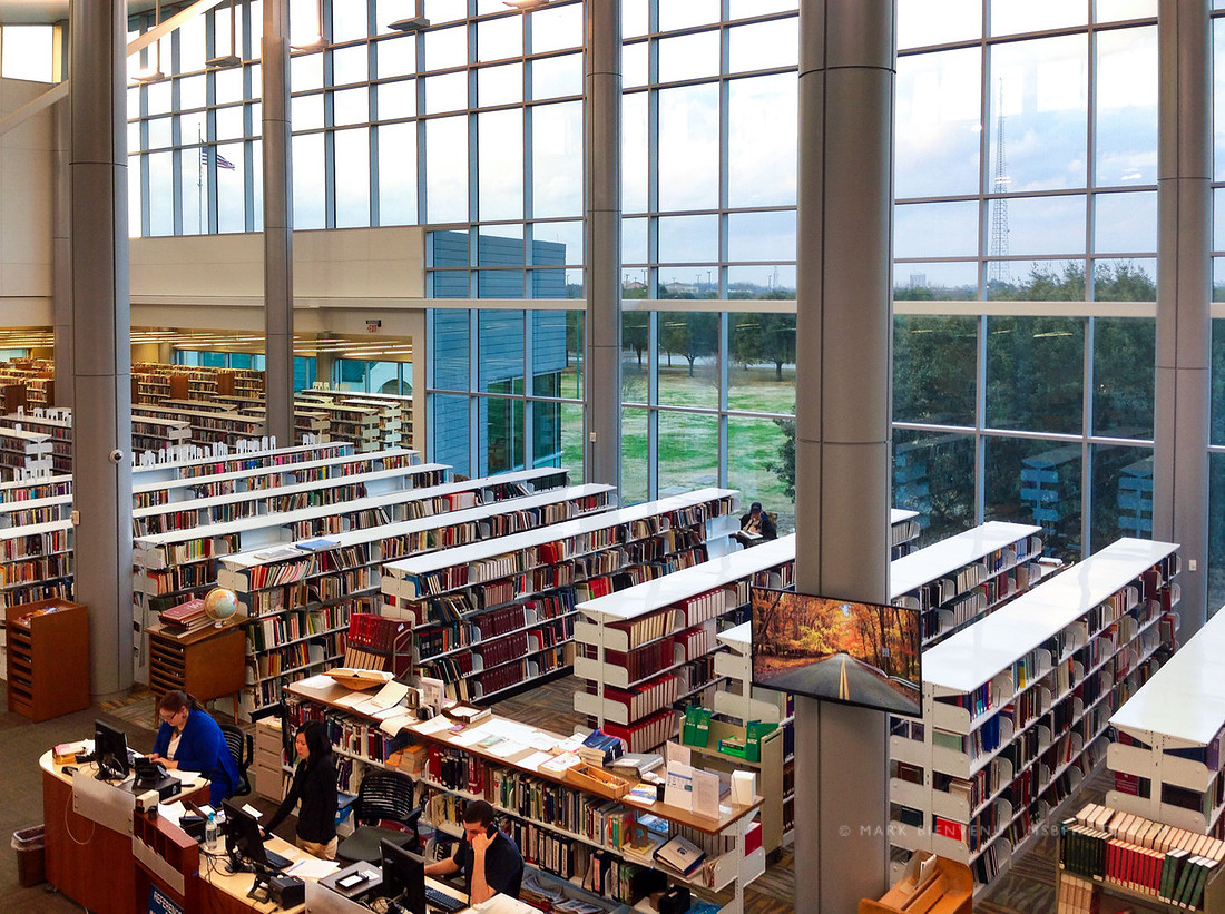
East Baton Rouge Parish Main Library




Baton Rouge Skyline
Trying to freshen up my inventory of Baton Rouge skyline images for 2014, I made a sunset trip to the Old Ferry Landing in Port Allen to get some new shots. The weather worked in my favor with some nice clouds and color. I also made another skyline panorama that is over 14,000 pixels on the long edge. That size should be sufficient to handle just about any type of publication.


Retouching Images for Architectural Photography

When shooting images for architectural photography, the scene is often filled with distractions that take away from the main focus of the image. In this example, you can see there were objects on the right side of the frame, cars in the foreground and background on both sides of the picture, and several parts of the roadway that were discolored and distracting due to recent road work.
After identifying and removing the distracting objects, there can often times still be room for improvement. This shot was taken during twilight so the building lights would be more visible. The sky was perfectly clear at the time and wasn't very interesting, so I replaced it with a nicer one that I felt could add more impact to the image. Once the sky was replaced, I adjusted the colors of the clouds to make it look a little more like sunset than twilight, then also adjusted the color of the road to match.
Image: 19th Judicial District Courthouse designed by POST Architects, photographed by Mark Bienvenu
Pelicans on LSU Lakes
Hundreds of white pelicans have arrived on the LSU lakes as part of their annual migration. You can find them at BREC's City Park and City Park lake or at Milford Wampold Park and LSU University Lake. Most of the ones pictured here were on City Park lake, but they were constantly in motion spending about half their time in the air and half in the water.


Fort Pike State Historic Site
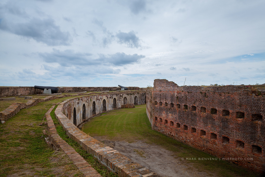
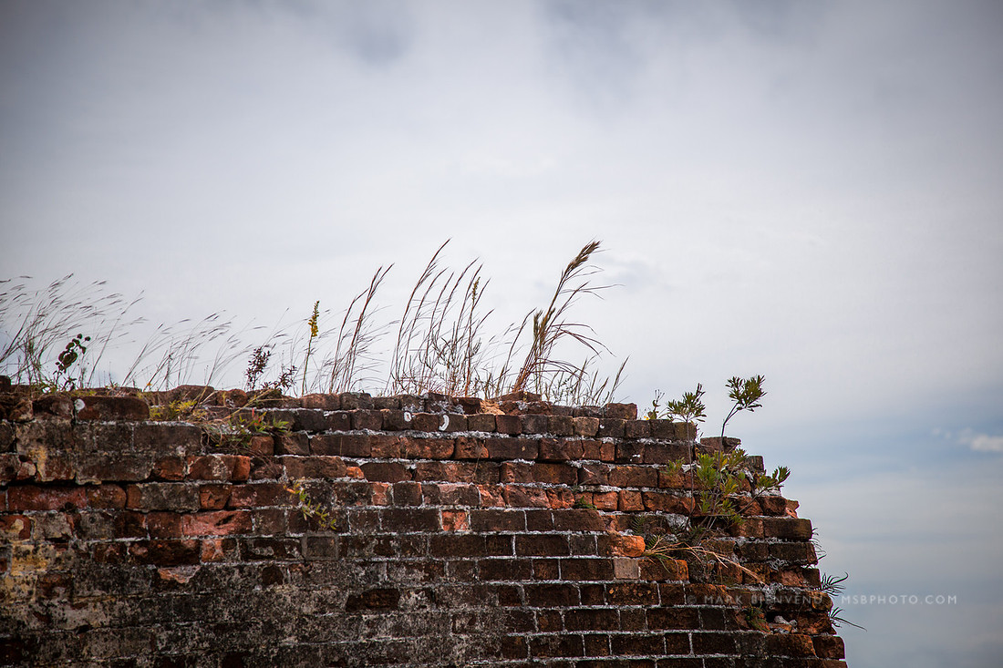
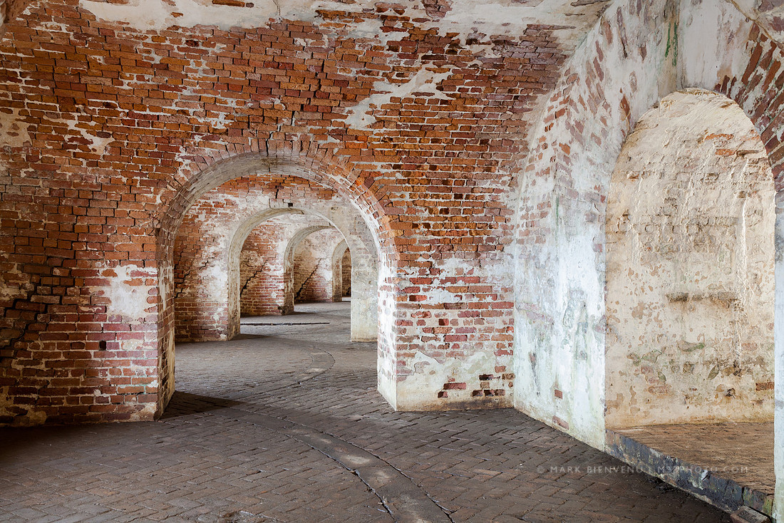
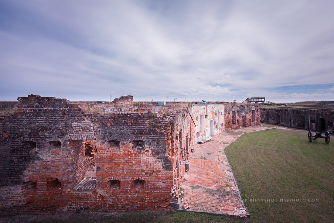
Fort Pike, one of six masonry forts on the Louisiana coast, was started in 1819, completed construction in 1827, and was officially abandoned in 1890. The site is on the Rigolets, a strait that connects Lake Pontchartrain to Lake Borgne, and ultimately to the Gulf of Mexico. Fort Pike State Historic Site was added to the National Register of Historic Places in 1972.
Fort Pike is smaller than similar forts I have visited in Florida and Alabama, but is still worth a visit. It is located in New Orleans East, almost all the way to Slidell, and you can get there in about an hour and a half from Baton Rouge.




BREC Frenchtown Road Conservation Area
I took a walk through BREC's newly opened Frenchtown Road Conservation Area. This is a pretty easy walk with trails in open grass, through the woods, and along the Amite River bank. I walked everywhere I could find a trail and covered 4 miles in 90 minutes. You certainly don't have to walk that long, but it's not a difficult walk and there is plenty to look at. I would recommend bringing a water bottle if you are going to be there for a while, and bring mosquito spray if you are going to venture off into the woods.
 BREC Frenchtown Road Conservation AreaThe Railroad Trail is accessed directly from the parking lot and takes you directly to the Amite River.
 BREC Frenchtown Road Conservation AreaSigns posted along the trails point you to the different trails and access points.
 BREC Frenchtown Road Conservation AreaThe Hardwood Forest Loop takes you through the woods to different overlooks on the Amite River.
 BREC Frenchtown Road Conservation AreaWildflowers growing along the Railroad Trail
 BREC Frenchtown Road Conservation AreaElevated portion of railroad tracks along the trail. You can walk under these and on the other side of them.
 BREC Frenchtown Road Conservation Area Horsetail reed grows under the elevated portion of the railroad tracks.
 BREC Frenchtown Road Conservation AreaHorsetail reed grows under the elevated portion of the railroad tracks.
 BREC Frenchtown Road Conservation AreaA few cypress trees grow along the Railroad Trail.
 BREC Frenchtown Road Conservation AreaThere were plenty of of bees, ants, and mosquitos during my visit. Only the mosquitos seemed to be interested in me.
 BREC Frenchtown Road Conservation AreaAccess to the Amite River Beach at the end of the Railroad Trail.
 BREC Frenchtown Road Conservation Area Amite River Beach at the end of the Railroad Trail. You can be here in 10 minutes or less from the parking lot.
 BREC Frenchtown Road Conservation AreaAnother view of the Amite River from the Railroad Trail.
 BREC Frenchtown Road Conservation AreaAmite River overlook on the Hardwood Forest Loop.
 BREC Frenchtown Road Conservation AreaA portion of the Hardwood Forest Loop.
 BREC Frenchtown Road Conservation AreaAmite River overlook on the Hardwood Forest Loop.
 BREC Frenchtown Road Conservation AreaOne of several narrow crossings built along the Hardwood Forest Loop.
 BREC Frenchtown Road Conservation AreaA view down the Hardwood Forest Loop.
 BREC Frenchtown Road Conservation AreaA view along the Hardwood Forest Loop.
 BREC Frenchtown Road Conservation AreaWildflowers growing on the side of the Railroad Trail.
Culture Candy: 2013 Uncommon Thread Wearable Art Show
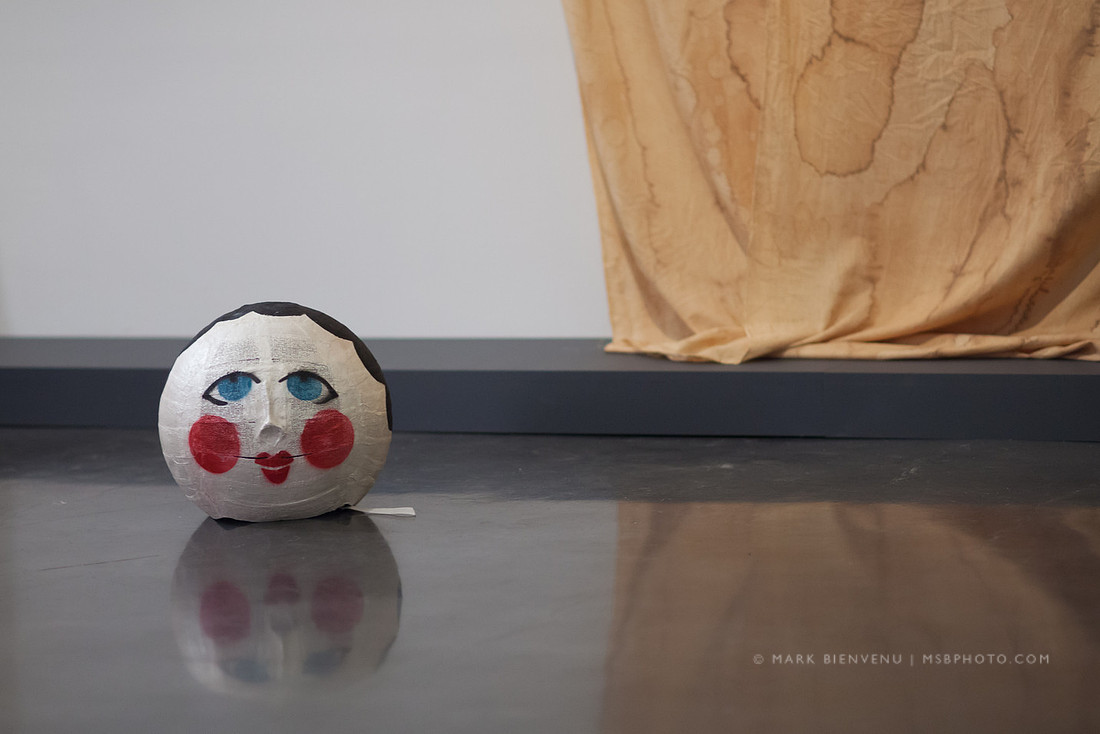
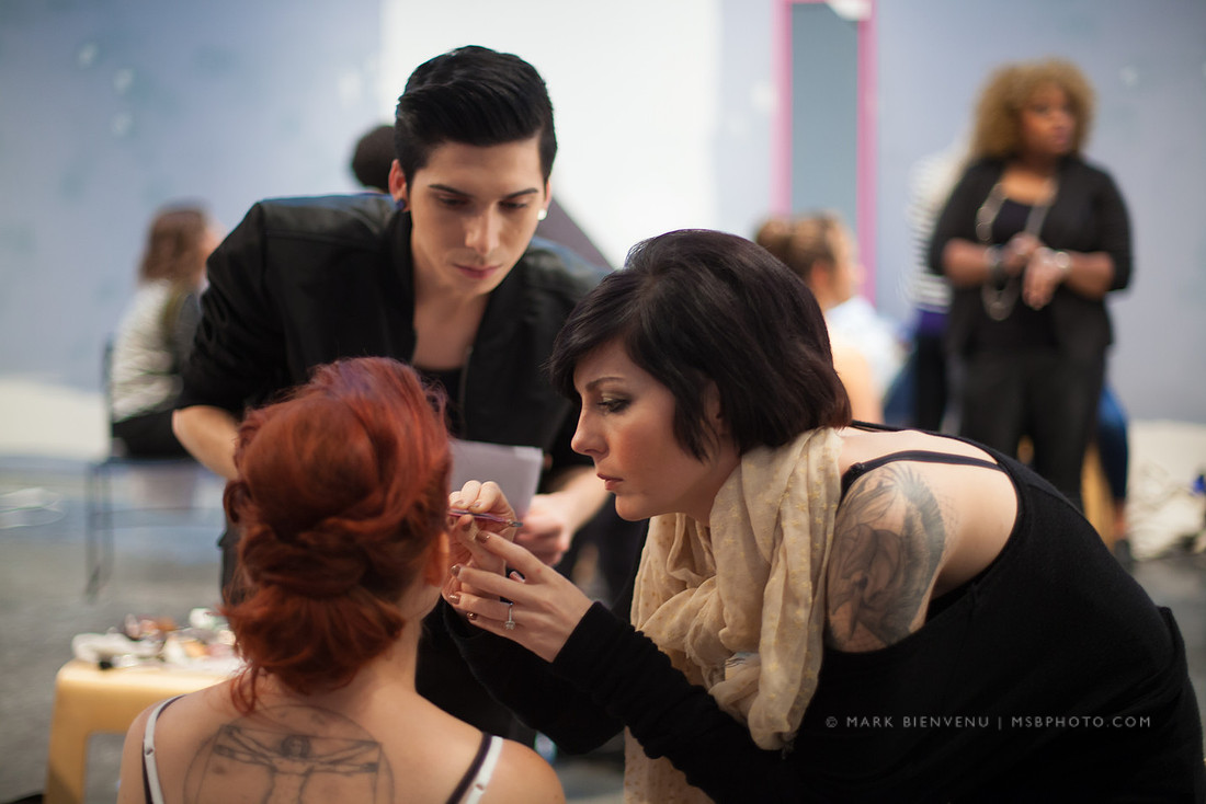
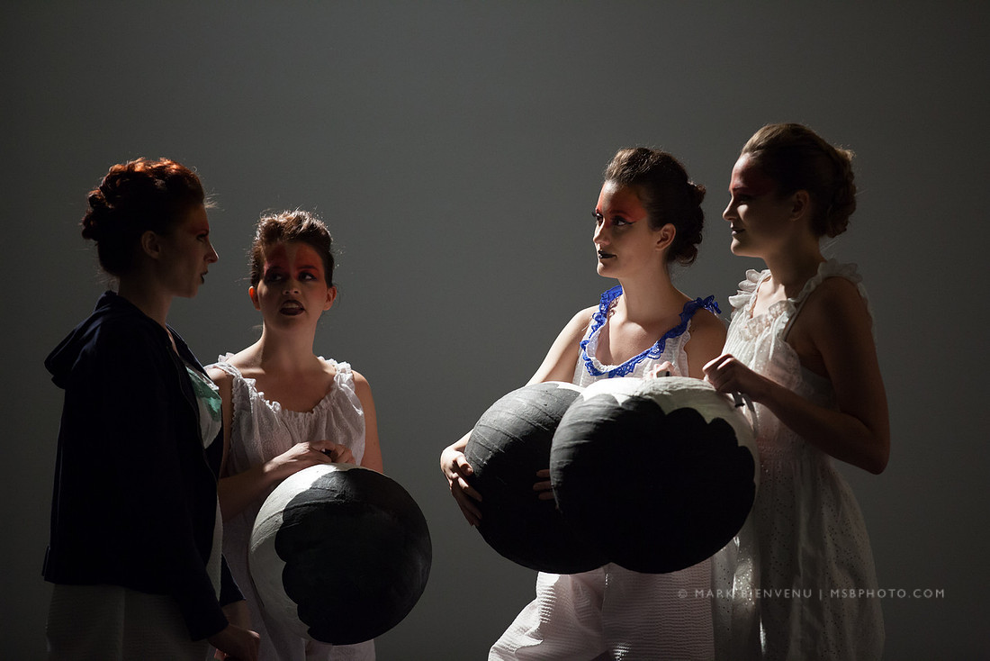
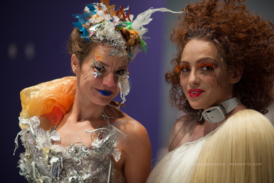
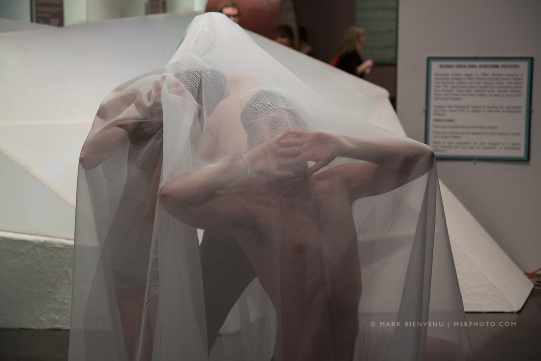
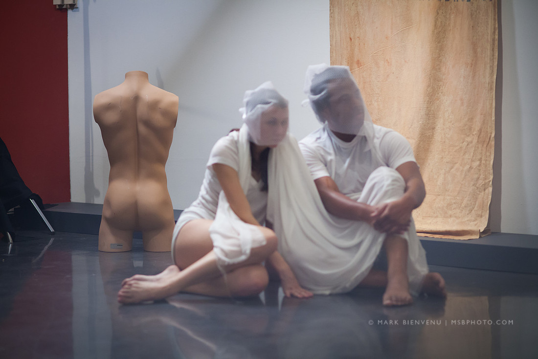
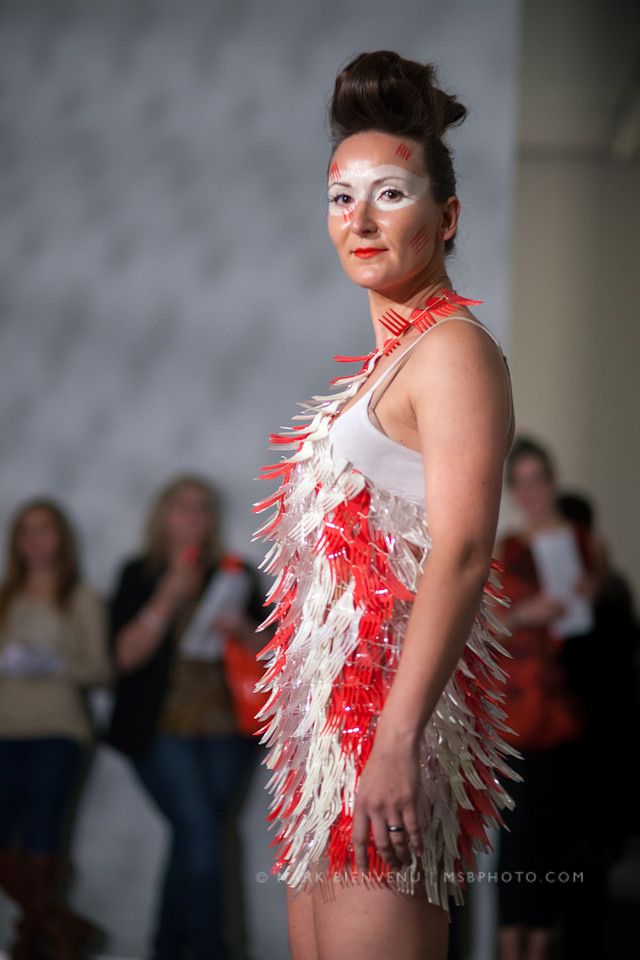
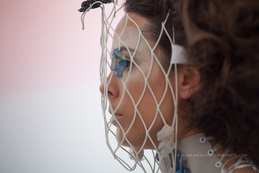
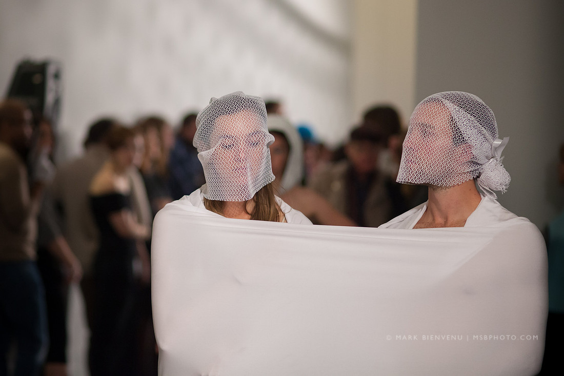
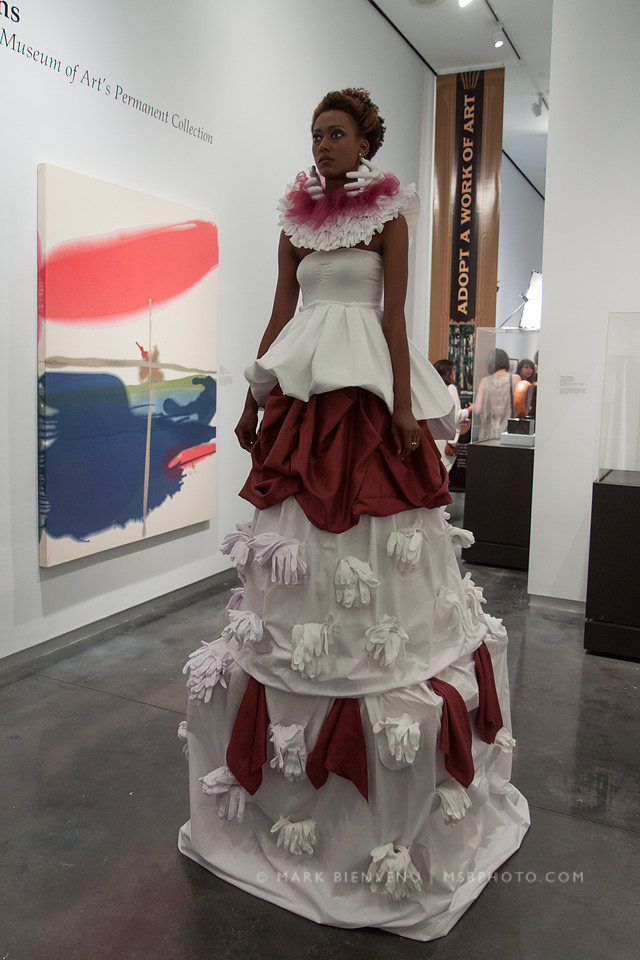
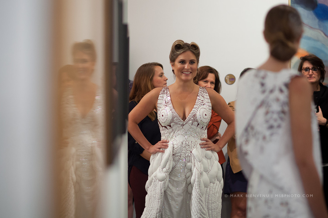
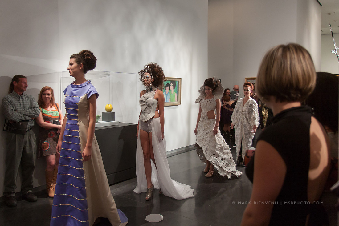
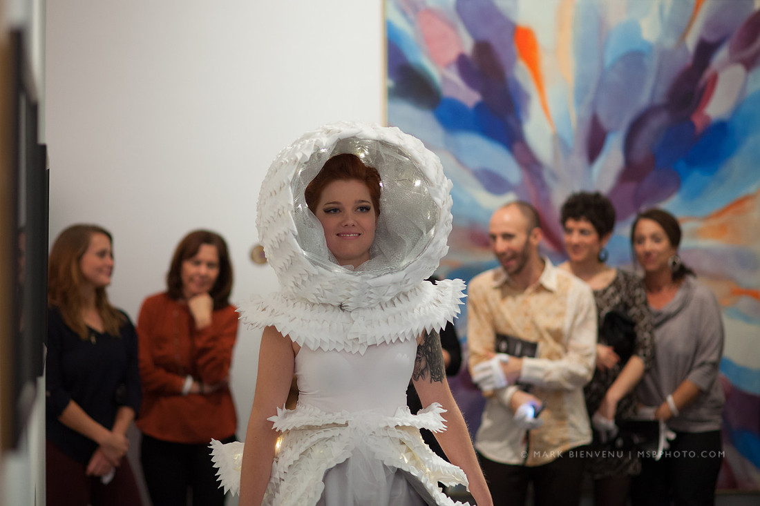
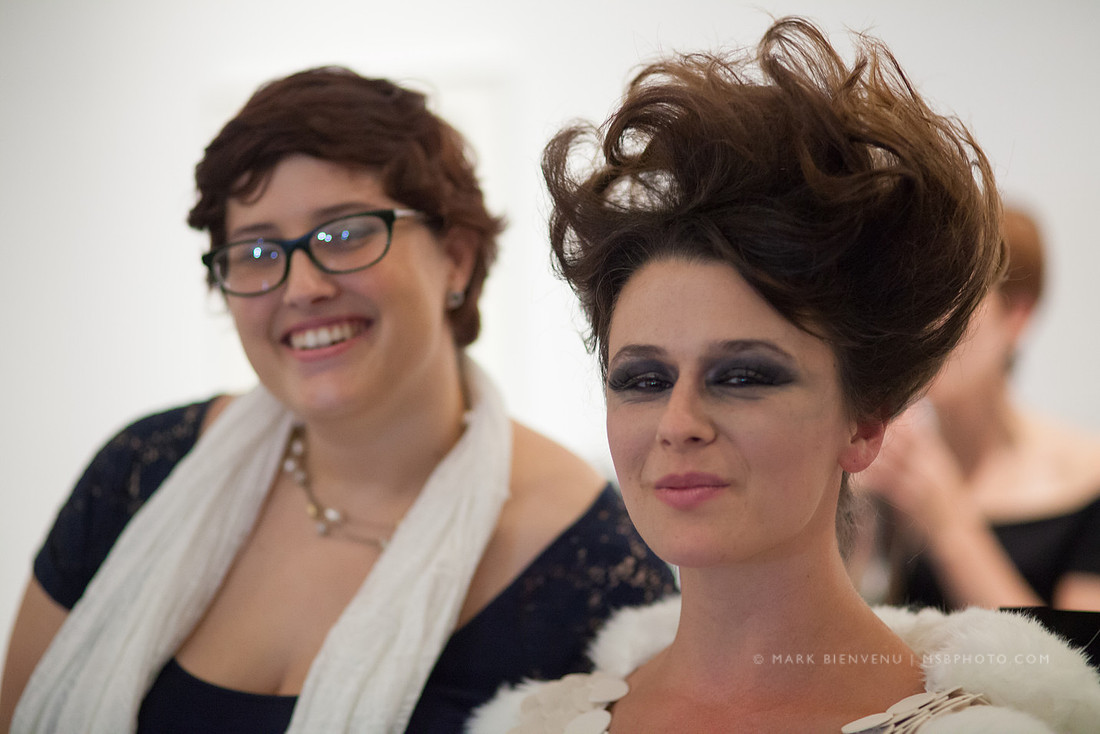
The Culture Candy 2013 Uncommon Thread Wearable Art show was held in the LSU Museum of Art at the Shaw Center this past weekend. These are a few select shots from the show, but you can check out the full gallery for more pictures.
 Culture Candy: 2013 Uncommon Thread Wearable Art Show
 Culture Candy: 2013 Uncommon Thread Wearable Art Show
 Culture Candy: 2013 Uncommon Thread Wearable Art Show
 Culture Candy: 2013 Uncommon Thread Wearable Art Show
 Culture Candy: 2013 Uncommon Thread Wearable Art Show
 Culture Candy: 2013 Uncommon Thread Wearable Art Show
 Culture Candy: 2013 Uncommon Thread Wearable Art Show
 Culture Candy: 2013 Uncommon Thread Wearable Art Show
 Culture Candy: 2013 Uncommon Thread Wearable Art Show
 Culture Candy: 2013 Uncommon Thread Wearable Art Show
 Culture Candy: 2013 Uncommon Thread Wearable Art Show
 Culture Candy: 2013 Uncommon Thread Wearable Art Show
 Culture Candy: 2013 Uncommon Thread Wearable Art Show
 Culture Candy: 2013 Uncommon Thread Wearable Art Show
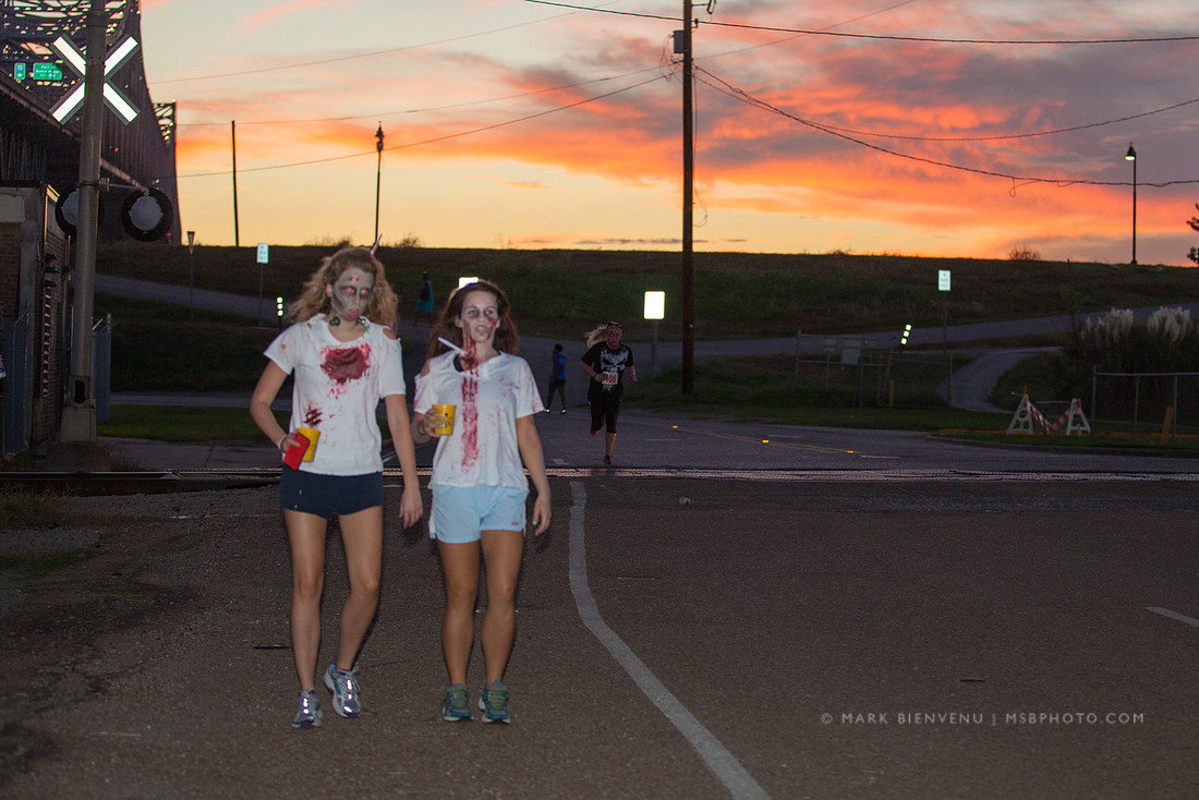
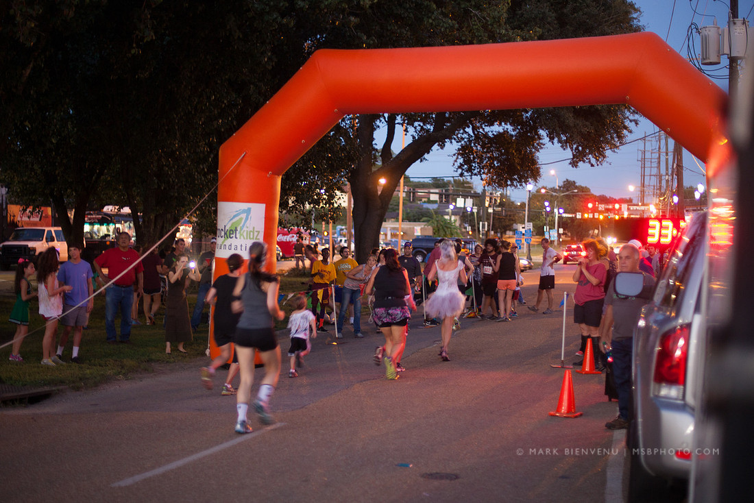
2013 Zombie Bash
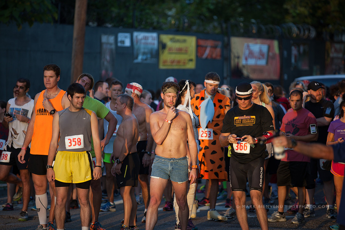
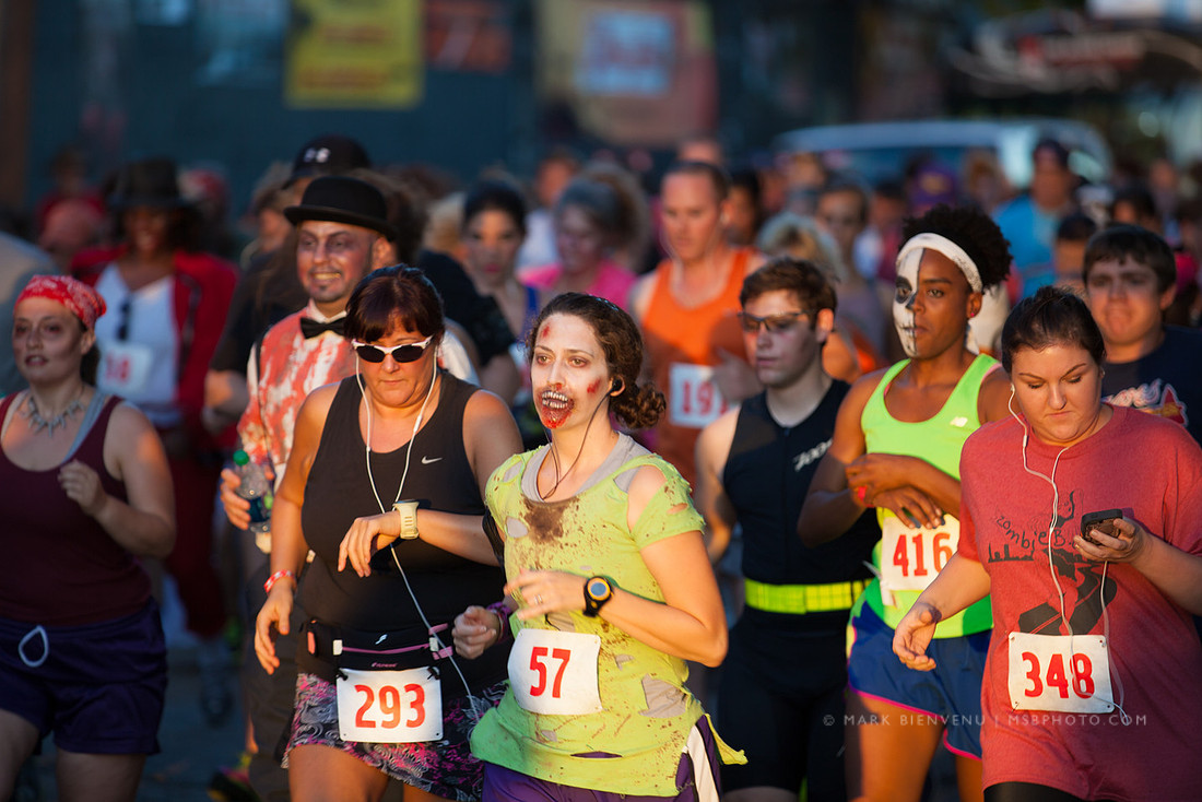
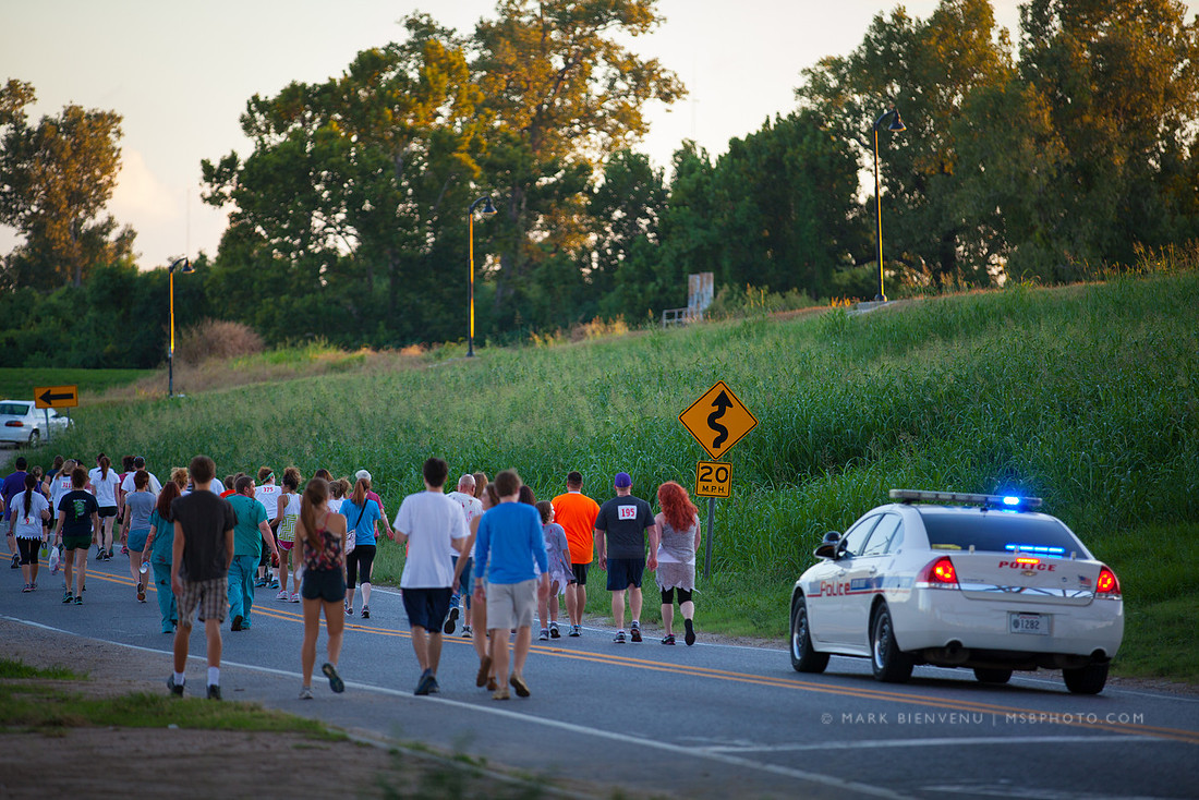
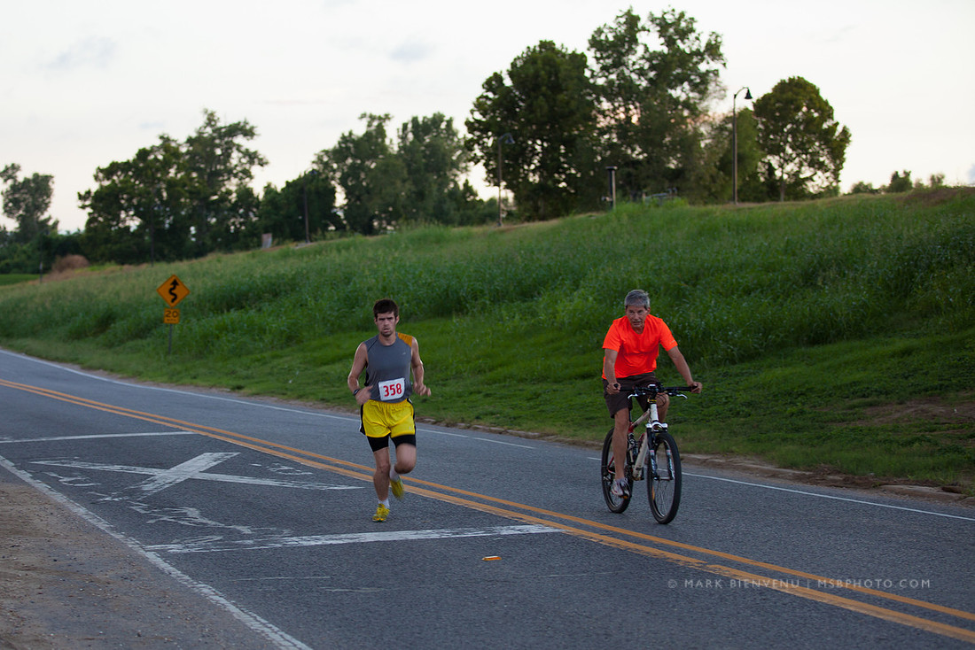
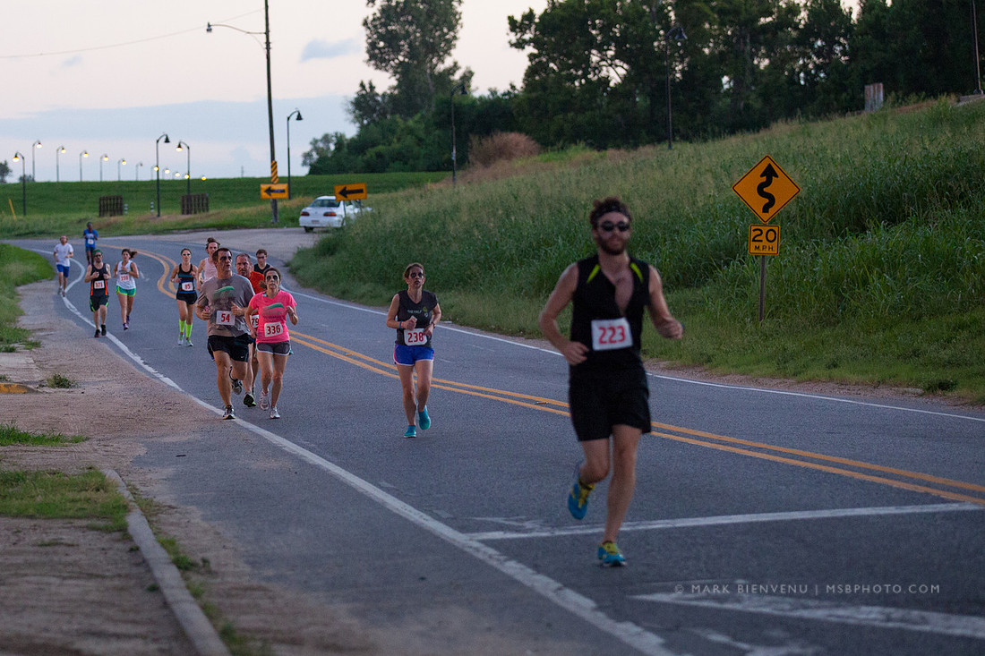
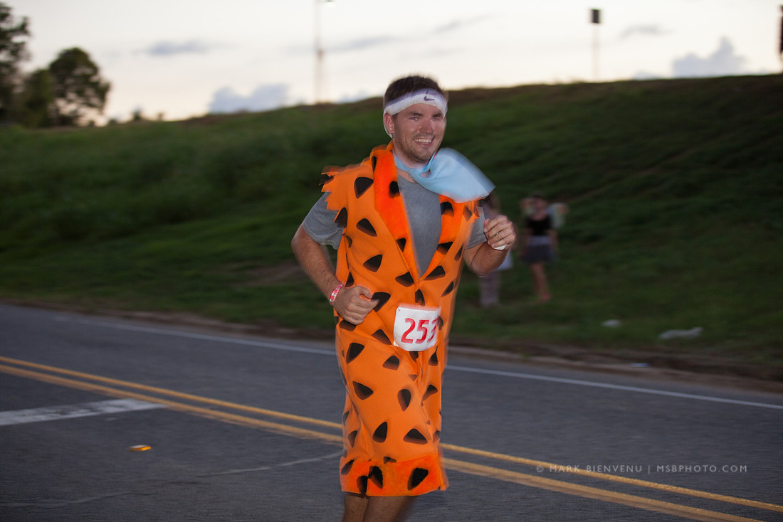
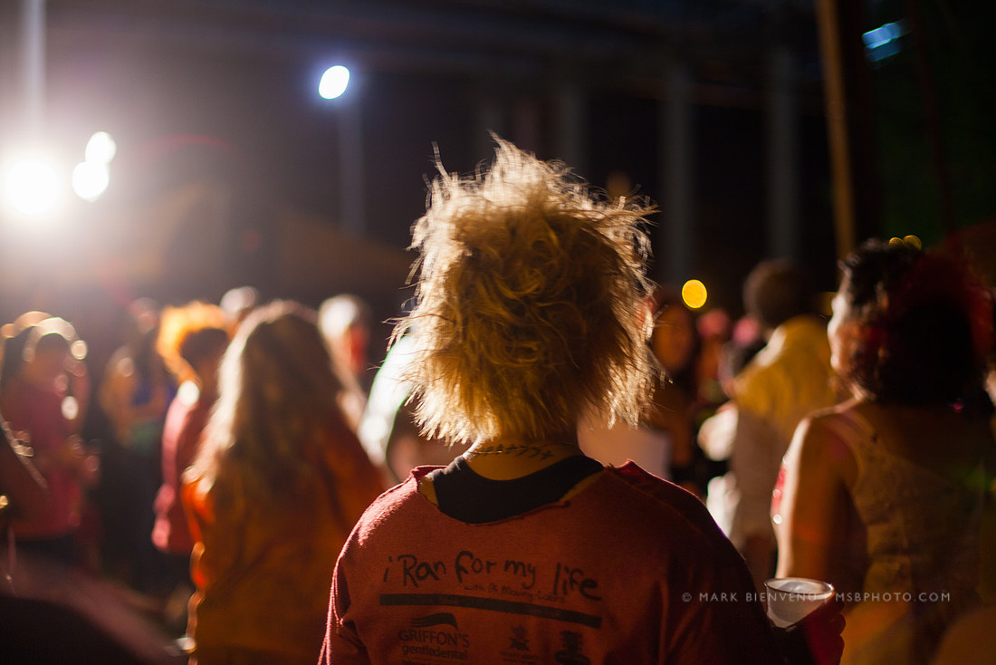
I went to Mud & Water to check out the Of Moving Colors Zombie Bash last night and took a few pictures along the way. I'm pretty sure #358 won the race.
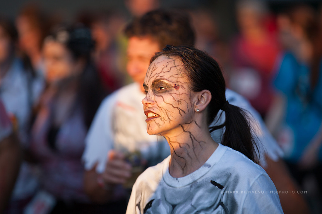
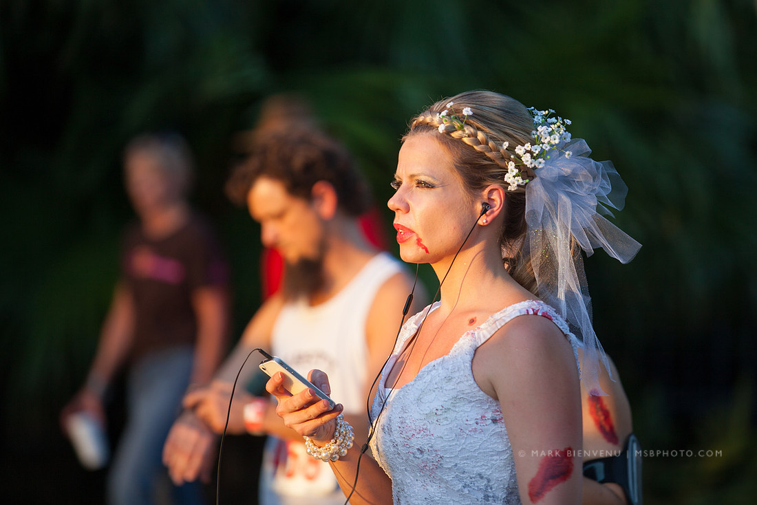
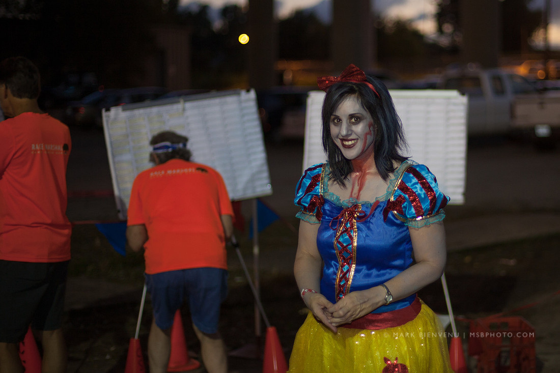
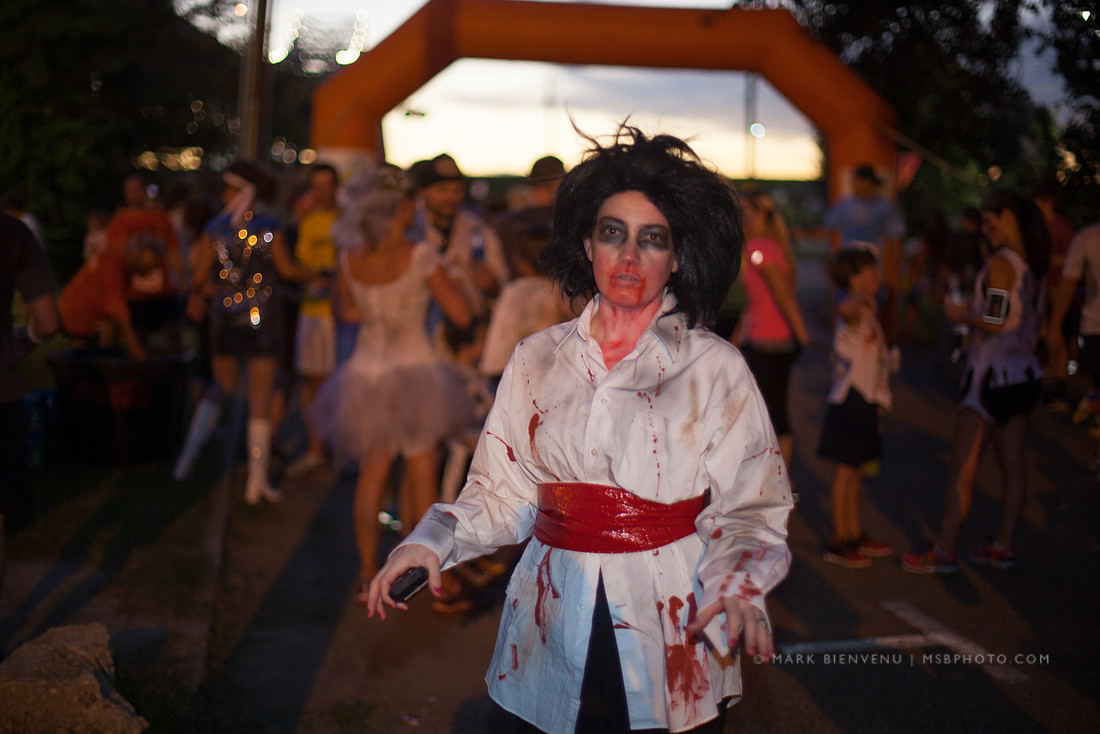
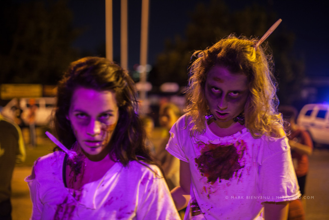
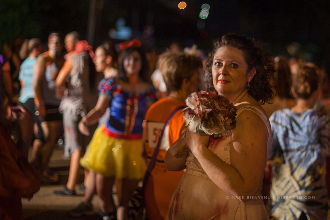
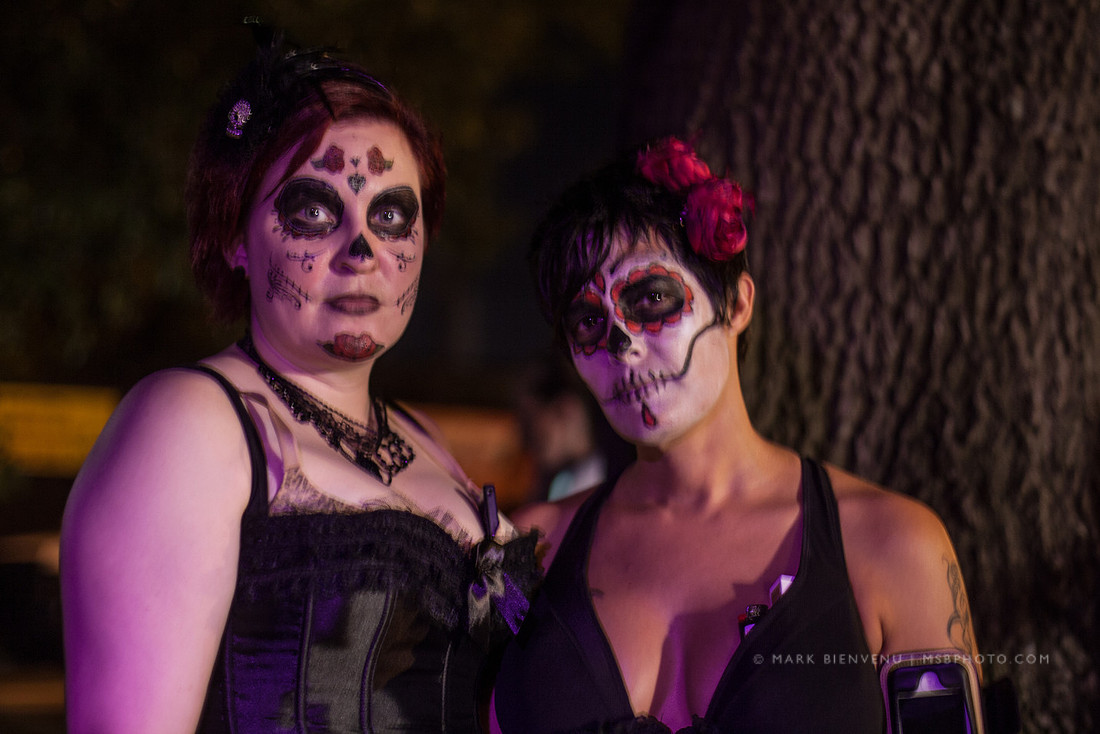
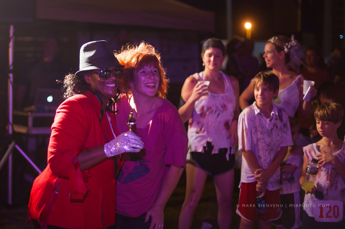
The whole event was fun to watch, but these two stole the show: